How Did the Indus Valley Map the Stars 4,000 Years Ago?
The story
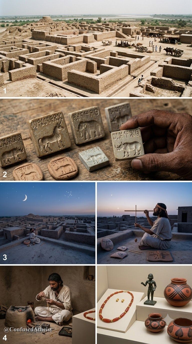
When we look at the Mature Indus Valley (Harappan) Civilization (c. 2600–1900 BCE), attention usually centers on its covered brick drains, binary-decimal chert weights, and standardized brick ratios ($1:2:4$). Yet across metropolises separated by hundreds of kilometers—Mohenjo-Daro, Harappa, Kalibangan, Rakhigarhi, and Dholavira—another feature stands out: main avenues laid out along strict north-south and east-west cardinal axes.
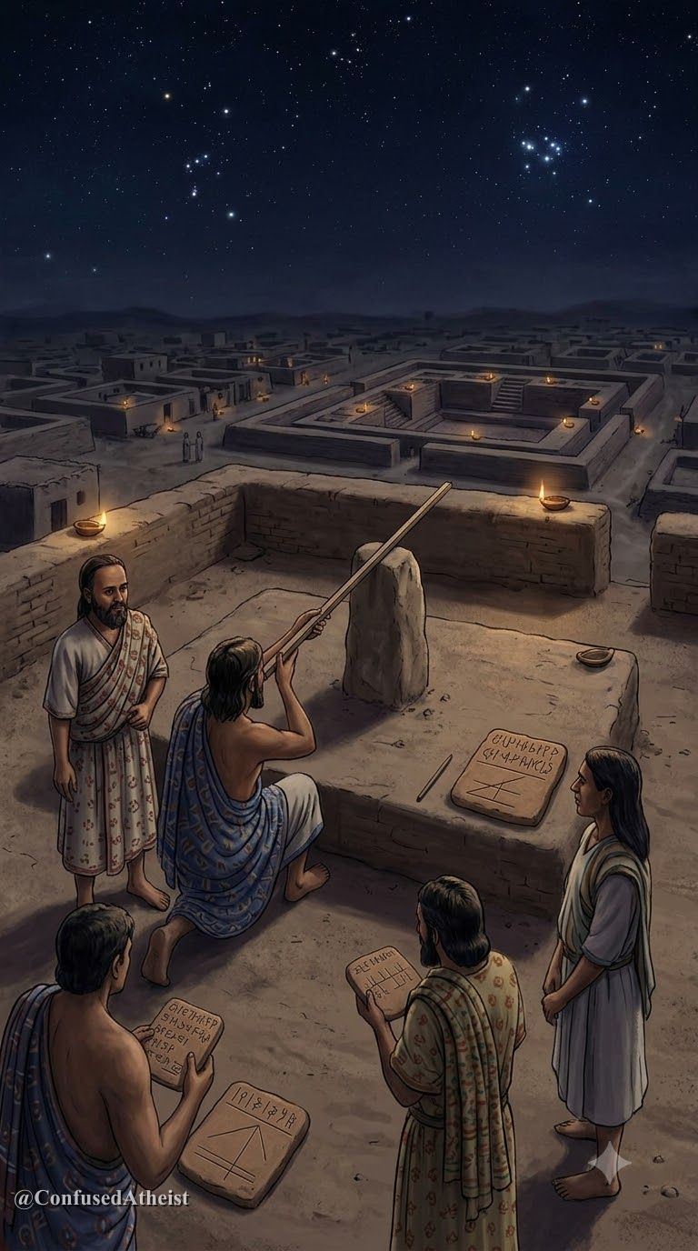
In later Vedic and Vedanga Jyotisha traditions, priests used the heliacal rising of the Krittikas (the Pleiades star cluster) on the vernal equinox to orient sacrificial fire altars along the east-west line. Did this sky-watching tradition begin in the cities of the Indus and Saraswati?
What the evidence shows
The cardinal astronomical orientation of Harappan city grids is 🟢 Well-documented, whereas the reading of specific steatite seal motifs as zodiacal or lunar calendars is where 🟡 Scholars disagree.
- Cardinal Street & Wall Sightlines: Total-station surveys at Mohenjo-Daro, Kalibangan, and Dholavira confirm that major citadels and lower-town avenues deviate by less than $1^\circ$ to $2^\circ$ from true astronomical north-south and east-west. Before magnetic compasses, such precision required observing the rising and setting of bright equatorial stars (such as the Pleiades/Krittikas or Aldebaran/Rohini) or tracking solar gnomon shadows at the equinoxes.
- Precession & the Pleiades: Due to the axial precession of the equinoxes (which shifts the sky by roughly $1^\circ$ every 71.6 years), the Pleiades (Krittikas) rose almost due east at the vernal equinox around 2300–2200 BCE—matching the peak urban horizon of the Mature Harappan era and the memory preserved in the Shatapatha Brahmana (2.1.2.3: "The Krittikas do not swerve from the eastern quarter").
- Circular Ring-Stones & Dholavira: At Mohenjo-Daro and Dholavira, archaeologists uncovered circular structures and perforated stone rings that several researchers have modeled as horizon calendars for tracking solstices and agricultural monsoons.
Where experts disagree
The central scholarly disagreement concerns the undeciphered Indus script and animal motifs on steatite seals.
Indologist Asko Parpola and archaeoastronomers such as Subhash Kak and B.N. Narahari Achar hypothesize that the recurring seal motifs—bulls, elephants, horned deities, and rows of seven figures—encode proto-Dravidian or early Vedic star names, nakshatra constellations (such as the seven Saptarishis / Ursa Major), and lunisolar intercalation rules.
Conversely, epigraphers and historians such as Richard Meadow, Gregory Possehl, and Steve Farmer caution that until the Indus signs can be read independently with a bilingual inscription, assigning specific astronomical values to seal icons remains an unverified hypothesis. They argue that many seals likely functioned primarily as administrative trade tokens, clan emblems, or merchant signatures rather than star charts.
What we still don't know
Because the Indus script remains undeciphered and no long astronomical tables on clay or birch-bark survive from 2500 BCE, we still do not know what the Harappans called the constellations in their own spoken tongue, or how their urban surveyor guilds transmitted geometric manuals across a million square kilometers.
Sources
- Parpola, Asko. Deciphering the Indus Script. Cambridge University Press, 1994.
- Kenoyer, J. Mark. Ancient Cities of the Indus Valley Civilization. Oxford University Press, 1998.
- Kak, Subhash. "The Astronomical Code of the Rigveda." Current Science, Vol. 66, 1994.
- Danino, Michel. "New Insights into Harappan Town-Planning, Proportions and Units of Length." Man and Environment, Vol. 33, No. 1, 2008.
Evidence Labels
More like this
The Lost River Saraswati: Did a Mighty River Vanish Beneath the Desert?
Rigvedic hymns praise a roaring Saraswati River, while satellite imagery reveals dried paleochannels under the Thar Desert. What does the geology show?
The Submerged Stones of Dwarka: What Lies Beneath the Water?
Archaeologists found submerged stone walls and anchors off Dwarka. How much connects to the epic legend of Krishna’s sunken city?